El Castillo de Polpis, situado en el término municipal de Santa Magdalena de Polpís, es un recinto fortificado con algunos elementos bien conservados. De origen musulmán, fue definitivamente conquistado por Jaume I, al mismo tiempo que Penyíscola. El castillo fue ampliado durante el periodo inicial de la posesión cristiana, para garantizar las tierras conquistadas, y posteriormente, se mantuvo ante el peligro de los piratas berberiscos. La fortificación se encuentra actualmente en un estado ruinoso, lo que no le quita encanto. En él, podremos distinguir Torre del Homenaje, Torres y un Aljibe. Desde la fortaleza se disfruta de unas vistas espectaculares.
The Polpis Castle, located in the municipality of Santa Magdalena de Polpís, is a fortified enclosure with some well-preserved elements. Of Muslim origin, it was definitively conquered by Jaume I, at the same time as Penyíscola. The castle was enlarged during the initial period of Christian possession, to guarantee the conquered lands, and later, it was maintained in the face of the danger of the Barbary pirates. The fortification is currently in a dilapidated state, which does not take away from its charm. In it, we will be able to distinguish Torre del Homenaje, Towers and a Cistern. From the fortress you can enjoy spectacular views.
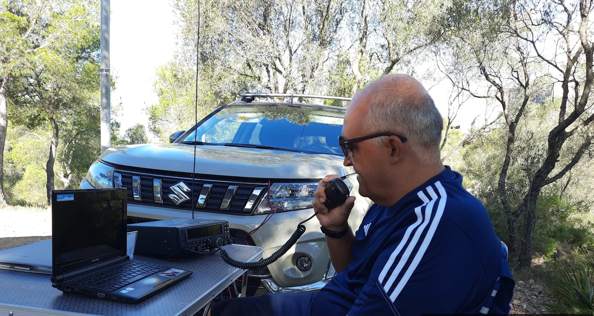
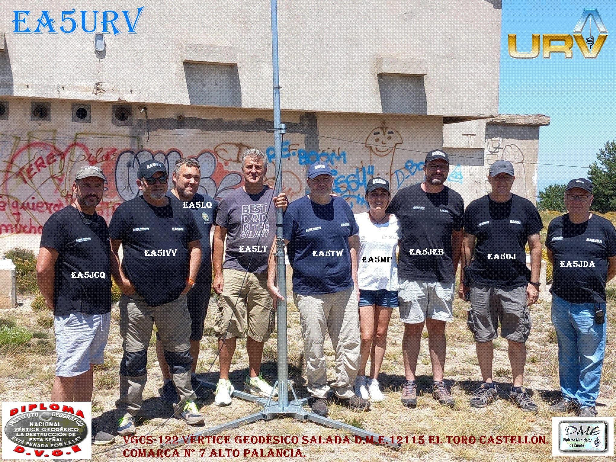
El viernes 4 de agosto y continuando con las actividades del verano 2023, pusimos en el aire la referencia del Castillo de Pulpis, con referencia CVC 168 valedera para el diploma de Castillos de la Comunidad Valenciana (el cual gestionamos desde la UREV), también como WCA Diploma Castillos Internacionales EA-01551 y aprovechamos para activar el dme12102-Santa Magdalena de Pulpis y la Comarca CS-003 Baix Maestrat, para el diploma comarcas de la C.V. Empezamos la actividad a las 10:30h y después de coger fuerzas con un almuerzo de sobaquillo a pie de mástil. Las primeras llamadas que entraron, fueron atendidas conforme se producían, pero conforme avanzaba la mañana, se hizo necesario la llamada por distritos. Sobre las 12h. cuando ya nos parecía que teníamos poca clientela, (203 qso’s realizados), decidimos cambiar de banda, lo que nos supuso bajar el mástil quitar el bazooka de 40m y colgar el de 20m. En esta ocasión solo estuvo llamando EA5FDW y se hicieron unos 37 qso’s con corresponsales de los distritos más lejanos a nuestra ubicación y de algunos Europeos. A las 13h tuvimos la visita del encargado forestal de turno, en la zona de la sierra de IRTA, quien nos informo de la peligrosidad de hacer fuego, por el fuerte viento que había en la zona, como estuvimos explicando en que consistía esta actividad, finalmente se nos hicieron las 13:30h y ya tuvimos que empezar a desmontar. Como siempre hacemos, todos recibiréis la qsl’s via eQsl y la qsl física solo los socios de Ure, si alguno la desea recibirla directa, podéis enviarnos un SASE con franqueo suficiente a nuestro apartado de correos 9025 Sucursal 9 CP 46080-Valencia. VALENCIA PILEUP CLUB.
On Friday, August 4, and continuing with the summer 2023 activities, we put the Pulpis Castle reference on the air, with reference CVC 168 valid for the Valencian Community Castles diploma (which we manage from the UREV), also as WCA International Castles Diploma EA-01551 and we take the opportunity to activate the dme12102-Santa Magdalena de Pulpis and the CS-003 Baix Maestrat region, for the C.V. We start the activity at 10:30 a.m. and after gaining strength with a sobaquillo lunch at the foot of the mast. The first calls that came in were answered as they occurred, but as the morning progressed, calls by districts became necessary. About 12 noon. when it seemed to us that we had few clients, (203 qso’s made), we decided to change bands, which meant that we lowered the mast, removed the 40m bazooka and hung the 20m one. On this occasion, only EA5FDW was calling and about 37 qso’s were made with correspondents from the districts furthest away from our location and from some Europeans. At 1:00 p.m. we had the visit of the forest manager on duty, in the area of the IRTA mountains, who informed us of the danger of making fires, due to the strong wind that was in the area, how we were explaining what this activity consisted of, finally it was 1:30 p.m. and we already had to start dismounting. As we always do, everyone will receive the qsl’s via eQsl and the physical qsl only Ure members, if anyone wishes to receive it directly, you can send us a SASE with sufficient postage to our post office box 9025 Branch 9 CP 46080-Valencia. VALENCIA PILEUP CLUB.