 Aguaviva se sitúa en un depresión entre la confluencia de los ríos Guadalope y Bergantes, sirviendo ambos cauces fluviales como límites municipales entre el Mas de las Matas, Aguaviva y La Ginebrosa. Se extiende por 42,15 km2 y su altitud sobre el nivel del mar es de 549 metros. Parte de su término son las primeras estribaciones del Maestrazgo tanto turolense como castellonense. Por lo tanto tiene una posición de piedemonte entre la depresión del Ebro y las serranías del Maestrazgo.
Aguaviva is situated in a depression between the confluence of the rivers Guadalope and Bergantes, serving both river channels as municipal boundaries between the Mas de las Matas, Aguaviva and La Ginebrosa. It extends by 42.15 km2 and its altitude on the level of the sea is of 549 meters. Part of its term are the first foothills of Maestrazgo both Turolense and Castellon. Therefore it has a position of piedemonte between the depression of the Ebro and the mountains of the Maestrazgo.
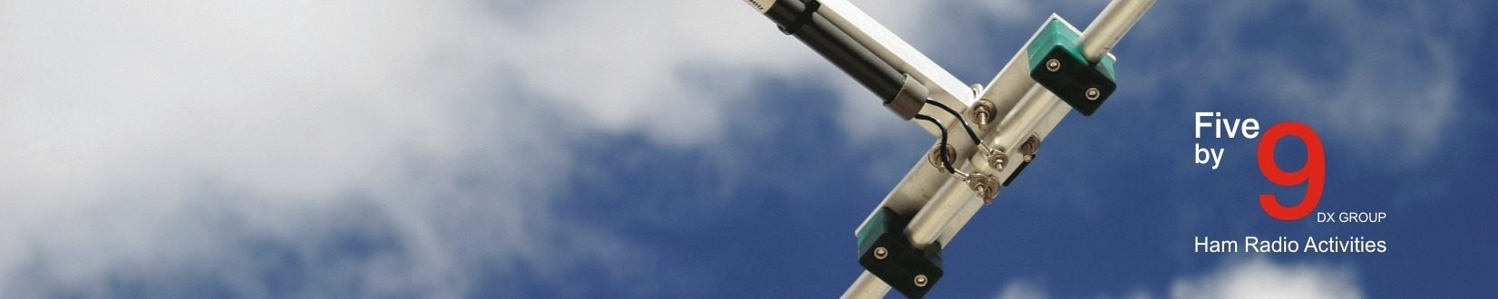
El Pasado día 15/04/2017, la amiga Raquel EA5INC estuvo activando con motivo de las fiestas de semana Santa y Pascua, el municipio de Aguaviva en la provincia de Teruel. Se realizaron un total de 220 comunicados en la banda de 40 metros ssb, ya se ha subido el log al GDURE y en breve se mandaran las trajetas qsl´s. Muchas gracias a todos por vuetros comunicados 73 y dx. Five By9 Dx Group Activations Team.
On the past 04/15/2017, the friend Raquel EA5INC was activating on the occasion of the Easter holidays, the municipality of Aguaviva in the province of Teruel. A total of 220 announcements were made in the band of 40 meters ssb, the log has been uploaded to the GDURE and soon the qsl’s cards will be sent. Many thanks to all of you for communicating 73 and dx. Five By 9 Dx Group Activations Team.
Descarga el Log en formato pdf, download Log in pdf format: